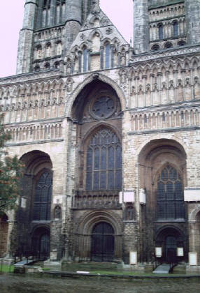
The one west of Peterborough has vanished. Places like Ancaster have survived while Godmanchester/Huntingdon and Ware have flourished.
But don't be fooled into thinking that straight means flat! The countryside through Lincolnshire undulates so you are always going up or down hill.
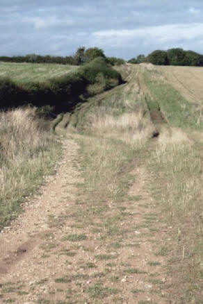
For marching troops and itinerant monks the shortest distance is the best route. But the up-and-down old route has been abandoned in favour of one that follows the contours. I suspect that the flatter route would have made life easier for wheeled transport that came to dominate the highways in later centuries.
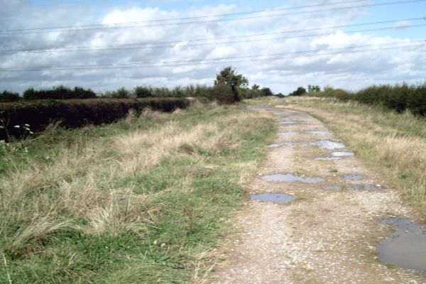
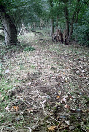
Now Four-wheel-drivers are re-discovering Ermine Street and gouging out these 'splashes' (left) through which they drive their vehicles at speed. I found a few places where they are setting up off-road circuits with cones and old tyres. It is nice to see Ermine Street being used but a shame to see the old road being destroyed.
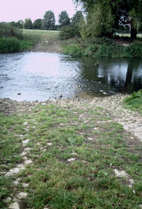
Finding water to drink along the route proved difficult with few streams. This might be another reason why many parts of Ermine Street fell into disuse as villages developed where there was easy access to water.
It was rare to find a footpath beside these roads so it was necessary to find a parallel road, make a very long detour or use a means to bypass the modern road.
This was in Hertfordshire where the County Council provide and maintain some excellent foot paths.
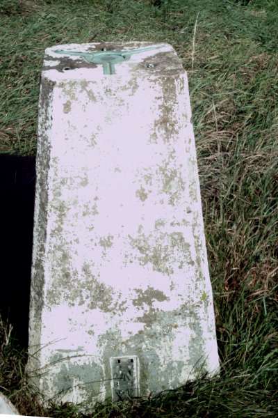
Visible at the base is the broad arrow that marks this as the property of the defence ministry as it was the military who surveyed the land for the purposed of calculating where shell, fired by the artillery, will impact.
One has to hope that the military never planned to fire their big ordnance in anger anywhere in the UK.
Safety
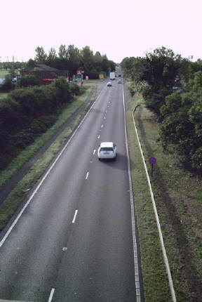
If you are planning to follow the Ermine Street, I should advise you that there are some extremely busy parts where you will be forced to walk on the verge because there is only just room for the large vehicles that use the road to pass.
I carried a dayglow visibility vest that i used on these occasions and a flashing cycle lamp which I used towards dusk.
Lorry drivers were thoughtful and conscious of my safety. Many drivers of white vans and larger people carriers seem unaware of the width of their vehicles so I would 'take cover' when they approached. With a very few exceptions, car drivers made a suitable allowance for the mad monk walking beside the road.